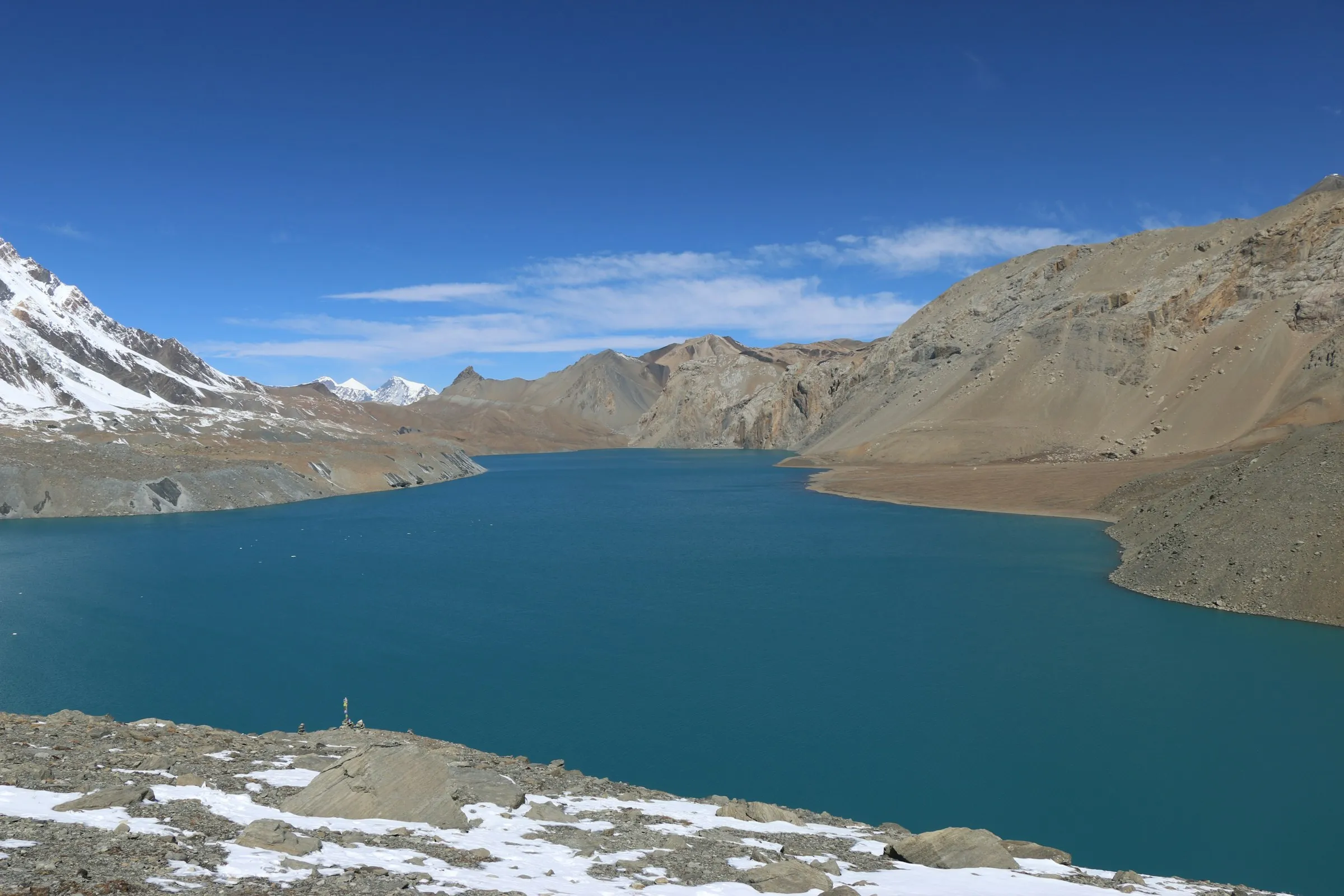
Turquoise Tilicho Lake ringed by bare slopes and snow peaks

Annapurna (Manang and Mustang)

Annapurna Circuit Trek with Tilicho Lake

Tilicho Lake at 4,919 m, then over Thorong La

  • Days15
  • High point5,416 m / 17,769 ft
  • GradeHard, 4 of 5
  • Best monthsMar, Apr, May, Oct, Nov

Overview

The full Annapurna Circuit with a three-day side trip from Manang to Tilicho Lake at 4,919 m, which also gives you extra time at altitude before you cross the Thorong La pass at 5,416 m.

Highlights

  • Follow the Marsyangdi valley from rice terraces to high pasture
  • Acclimatise in Manang, beneath Annapurna II, III and Gangapurna
  • A side trip from Manang to Tilicho Lake (4,919 m), one of the highest lakes in the world
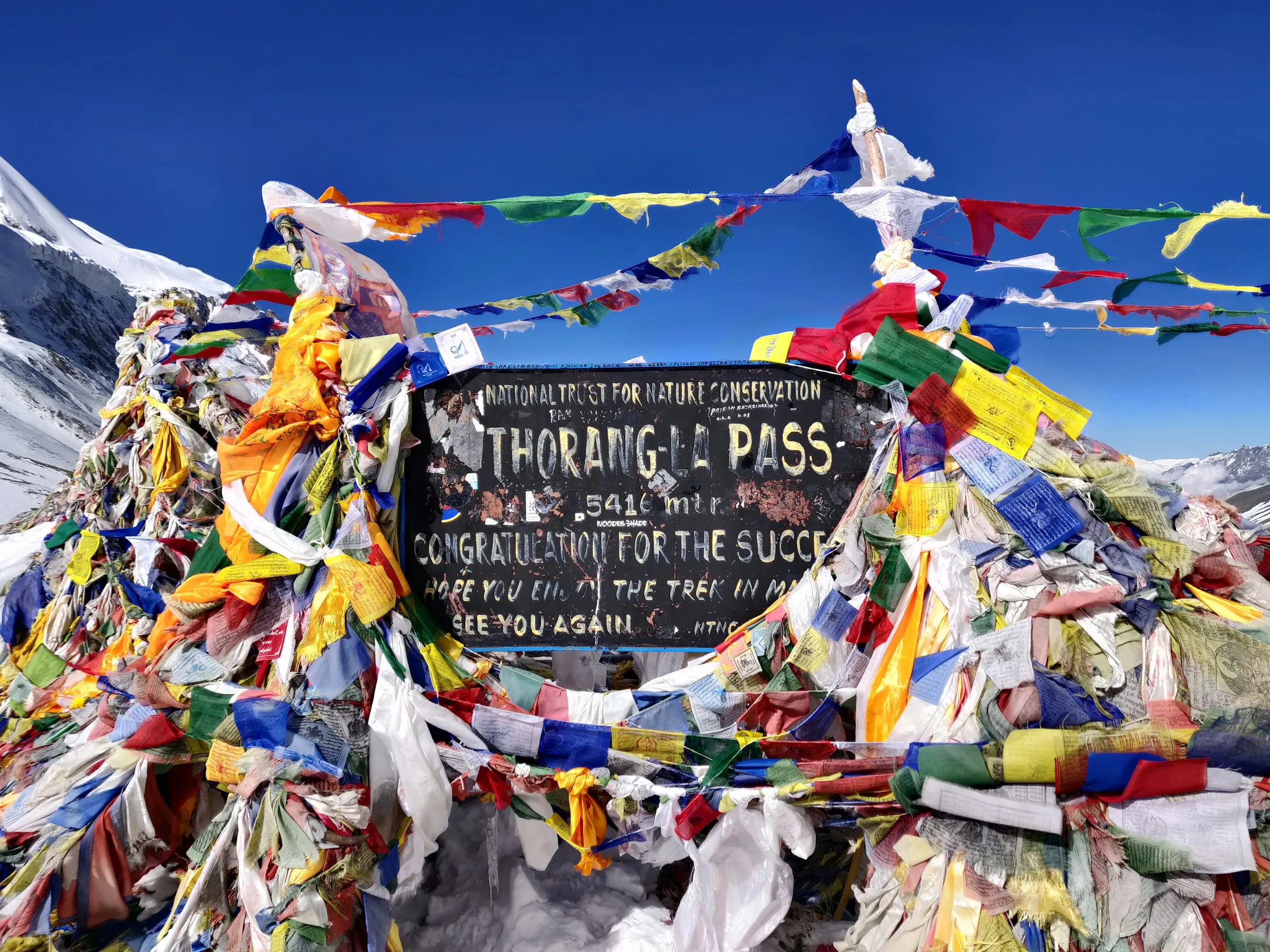
  • Cross the Thorong La pass at 5,416 m
  • Muktinath, a temple sacred to both Hindus and Buddhists
  • Descend into the wind-carved Kali Gandaki valley to Jomsom

Guide & safety

  • A licensed trekking guide with you every day.
The Thorong La pass sign at 5,416 m on the Annapurna Circuit
The Thorong La pass sign at 5,416 m on the Annapurna Circuit · Sanjay Hona
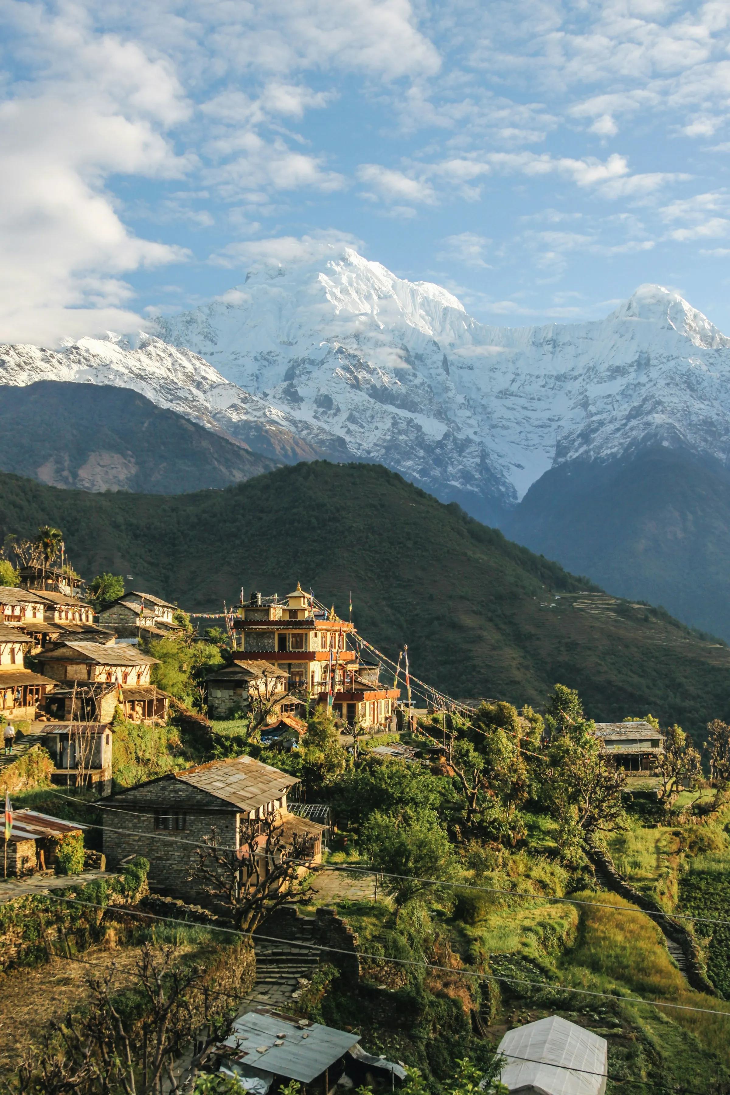
Stone houses of Narchyang village in the Annapurna region
Stone houses of Narchyang village in the Annapurna region · Giuseppe Mondì
Is this trek for me?

Fitness & difficulty

Hard, 4 of 5 Challenging (long days, one very high pass)

  • No climbing skills needed, but the day over Thorong La is long, cold and high, with an early start.
  • The rest of the trek is a steady climb up the Marsyangdi valley, which helps you acclimatise.
  • Train with hill walks or stair sessions two or three times a week for eight to ten weeks before you go.
  • The trail between Shree Kharka and Tilicho Base Camp crosses steep scree slopes with rockfall risk. Your guide checks conditions before you go.
  • You visit 4,919 m at Tilicho Lake, then cross 5,416 m three days later. Anyone can get altitude sickness, so read our safety approach before you go.

Our altitude & evacuation approach →

15 days · scroll to climb

Day by day

The marker follows you down the itinerary. Red figures are height gained since where you slept the night before.

Approximate route: straight lines between stops in the order you first reach them, not the exact trail. Map data © OpenStreetMap contributors, SRTM; style © OpenTopoMap (CC-BY-SA).
  1. Day 1: Drive from Kathmandu to Besisahar

    Besisahar · 760 m

  2. Day 2: Drive and trek up the Marsyangdi valley

  3. Day 3: Trek to Chame

    Chame · 2,670 m

  4. Day 4: Trek to Upper Pisang

    Upper Pisang · 3,300 m▲ 630 m

  5. Day 5: Trek to Manang

    Manang · 3,540 m▲ 240 m

  6. Day 6: Acclimatisation day in Manang

    Manang · 3,540 mRest day, same altitude

  7. Day 7: Trek to Shree Kharka

    Shree Kharka · 4,070 m▲ 530 m

  8. Day 8: Trek to Tilicho Base Camp

    Tilicho Base Camp · 4,130 m▲ 60 m

  9. Day 9: Hike to Tilicho Lake, return to Shree Kharka

    Sleep at Shree Kharka.

    Tilicho Lake · 4,919 m▲ 789 m

  10. Day 10: Trek to Yak Kharka

    Yak Kharka · 4,050 m▼ 20 m

  11. Day 11: Trek to Thorong Phedi

    Thorong Phedi · 4,450 m▲ 400 m

  12. Day 12: Cross Thorong La, descend to Muktinath

    Sleep at Muktinath.

    Thorong La Pass · 5,416 m▲ 966 m

  13. Day 13: Descend to Jomsom

    Jomsom · 2,720 m▼ 1,040 m

  14. Day 14: Fly or drive to Pokhara

  15. Day 15: Tourist bus back to Kathmandu

Dates & price

Plan your dates

Pick the day you want to start walking. We'll lay out your whole trip and check the season.

No payment. We confirm availability and send a full quote within 24 hours.

Season advice follows the standard trekking seasons. Ask us

  1. Arrive in Kathmandu by–
  2. Trek–
  3. Fly home from–
  1. Drive from Kathmandu to Besisahar760 m
  2. Drive and trek up the Marsyangdi valley
  3. Trek to Chame2,670 m
  4. Trek to Upper Pisang3,300 m
  5. Trek to Manang3,540 m
  6. Acclimatisation day in Manang3,540 m
  7. Trek to Shree Kharka4,070 m
  8. Trek to Tilicho Base Camp4,130 m
  9. Hike to Tilicho Lake, return to Shree Kharka4,070 m
  10. Trek to Yak Kharka4,050 m
  11. Trek to Thorong Phedi4,450 m
  12. Cross Thorong La, descend to Muktinath3,760 m
  13. Descend to Jomsom2,720 m
  14. Fly or drive to Pokhara
  15. Tourist bus back to Kathmandu

Private trek

Your own guide and your own pace, starting on a date you choose in season.

Small group departures

Ask us for current details.

What's included

In the price

Included

  • Licensed trekking guide
  • Hotel night in Pokhara after the trek, and the tourist bus back to Kathmandu
  • Teahouse accommodation on the trek
  • All meals on the trek: breakfast, lunch and dinner
  • Annapurna Conservation Area Permit

Not included

  • International flights and Nepal visa
  • Hotel nights in Kathmandu
  • Porter (we can add one; ask us for the price)
  • Travel insurance with helicopter evacuation cover
  • Tips for guides and porters

You pay on the trail

Hot shower
On request
Wi-Fi
On request
Phone or battery charging
On request
Boiled or filtered water (1 litre)
On request
Dal bhat (set meal)
On request

Prices rise the higher you go. Bring cash in Nepali rupees.

No hidden costs, no surprise group merging, a named guide, and a descend-first safety plan. Read our promises → Ask us

Make it yours

Extend or change it

Ask about these →

Other ways to walk it

Without Tilicho · 12 days

Skip the lake and go straight from Manang to Yak Kharka. See our [Annapurna Circuit trek](/treks/annapurna-circuit/).
Add-ons

Poon Hill finish

Instead of driving out from Jomsom, walk down via Ghorepani and the Poon Hill sunrise viewpoint.

Extra nights in Pokhara

Rest by Phewa Lake before you fly home.

Practicalities

Good to know

Where you'll stay

Teahouses are family-run lodges: simple twin rooms with foam mattresses and blankets, and a shared dining room warmed by a stove in the evening. Toilets are often shared, and hot showers and charging cost extra the higher you go.

Teahouse lodges, twin-share rooms

What you'll eat

Most teahouses serve a similar menu: dal bhat (rice, lentil soup and vegetable curry, usually with free refills), noodles, momos, eggs, porridge, pancakes and plenty of tea. Higher up the menu shrinks and prices rise, because everything is carried in.

Permits

Annapurna Conservation Area Permit (ACAP)
NPR 3,000 (SAARC nationals NPR 1,000)
TIMS card (arranged by your trekking agency)
NPR 2,000 (SAARC nationals NPR 1,000)
Full permit guide →

Before and after, in Pokhara

Your bus from Kathmandu and hotel nights in Pokhara are included. For an airport pickup, extra nights or a rest day with the Sarangkot cable car, we help you arrange it.

Plan your Pokhara days →
Questions

FAQ

How much harder is the Circuit with Tilicho Lake?

It adds three days and a long hike to 4,919 m, plus an exposed scree section below Tilicho Base Camp. The extra time high up also helps you acclimatise before Thorong La.

How difficult is the Annapurna Circuit?

Long rather than technical. Most days are a steady climb up the valley, then one very hard day crosses Thorong La at 5,416 m with an early start and a long descent to Muktinath.

Is the road ruining the circuit?

Roads now reach far up both sides of the circuit. Good itineraries use trails away from the road where they exist. Ask us

When can I cross Thorong La?

The pass is most reliable from March to May and from October to November. Snow can close it in winter and early spring. Your guide decides each morning whether it's safe.

What time do you start on pass day?

Before dawn, to cross before the wind picks up in the late morning. Ask us

What permits do I need?

An Annapurna Conservation Area Permit (ACAP). Your guide arranges it. See the permits guide for current fees and whether a TIMS card is also needed.

Will I get altitude sickness?

You might. The gradual climb and the rest day in Manang help a lot. If you feel unwell, don't go higher, and tell your guide straight away. Turning back before the pass is always an option.

Can I add Tilicho Lake?

Yes. From Manang, a side trip to Tilicho Lake adds two to three days and a lot of extra altitude practice before the pass.

How do I get back from Jomsom?

By a short morning flight to Pokhara, weather permitting, or by road down the Kali Gandaki valley.

What travel insurance do I need?

Insurance that covers trekking up to at least 6,000 m and helicopter evacuation. Check the altitude limit in the policy wording, not just the summary.

Ready?

Plan your Circuit + Tilicho

Tell us your dates. We'll send a day-by-day plan and full quote within 24 hours.
We reply within 24 hours with an itinerary and quote. Or message us on WhatsApp.

The Thorong La pass sign at 5,416 m on the Annapurna CircuitVariety and a high pass

Annapurna Circuit

12 days · up to 5,416 m

Best Mar–May, Oct–Nov

The Annapurna range at dawn from Poon HillShort and easy

Poon Hill

7 days · up to 3,210 m

Best Mar–Apr, Oct–Nov

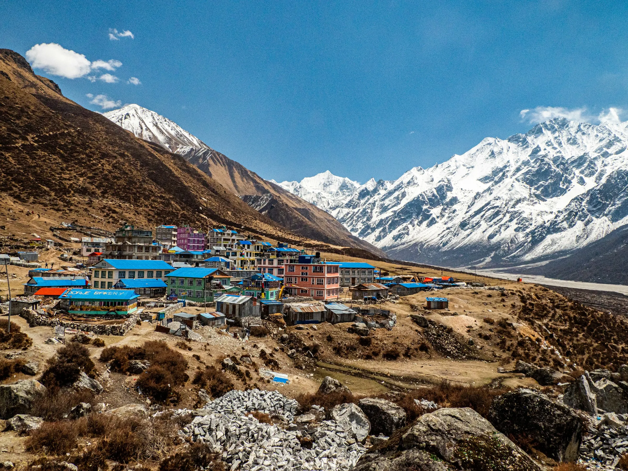
Kyanjin Gompa village in the Langtang valley, beneath snow peaksNo flights, close to Kathmandu

Langtang Valley

8 days · up to 4,600 m

Best Mar–May, Oct–Nov

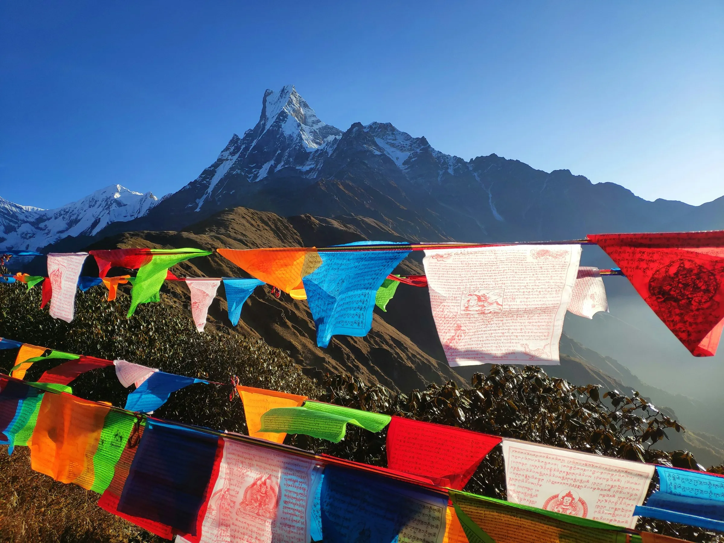
Machapuchare (Fishtail) behind prayer flags at Mardi Himal Base CampQuiet ridge, close-up Fishtail

Mardi Himal

8 days · up to 4,155 m

Best Mar–May, Oct–Nov

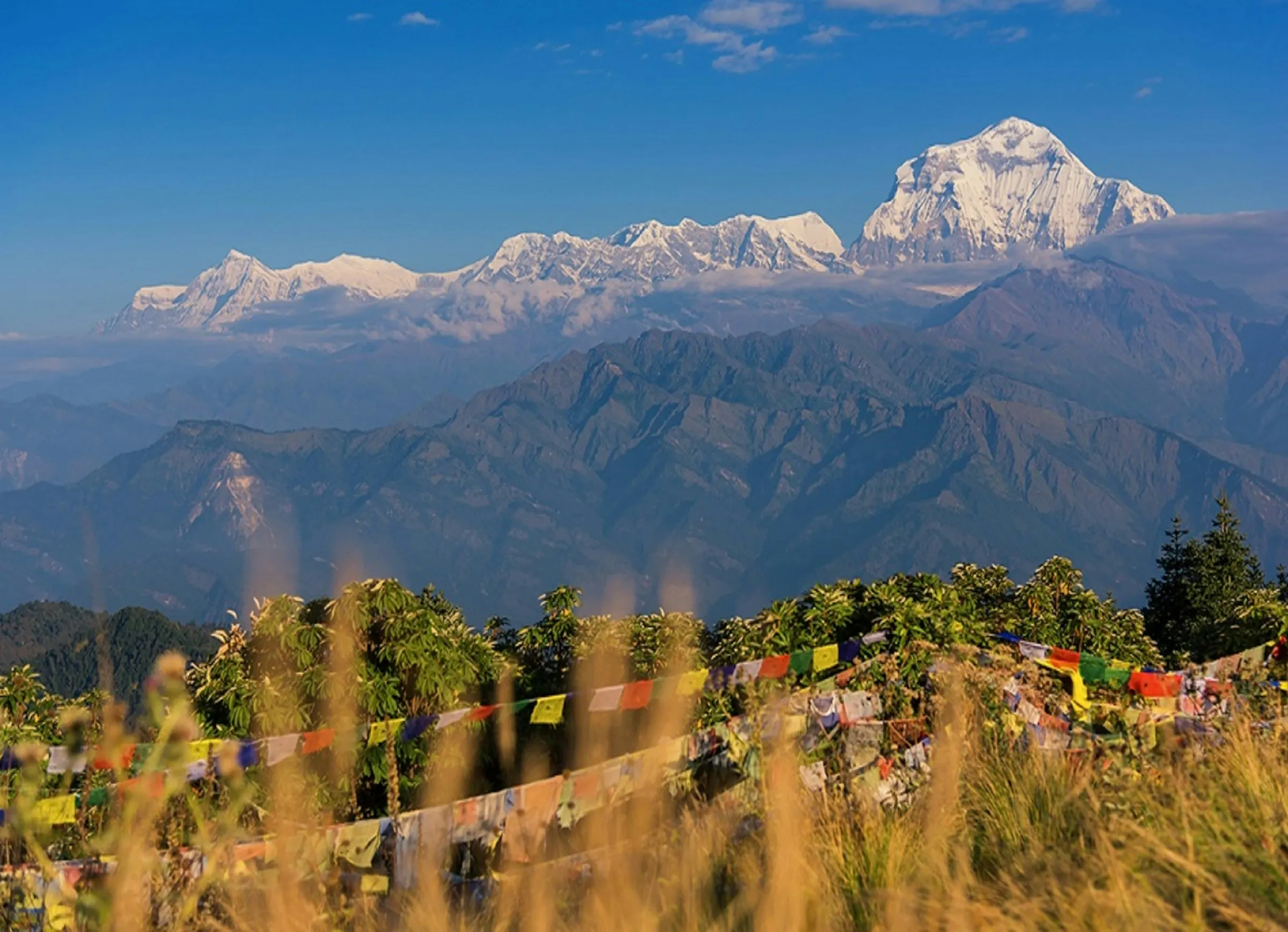
Dhaulagiri range above prayer flags on Poon Hill, GhorepaniSunrise view and the Sanctuary

ABC + Poon Hill

12 days · up to 4,130 m

Best Mar–May, Oct–Nov

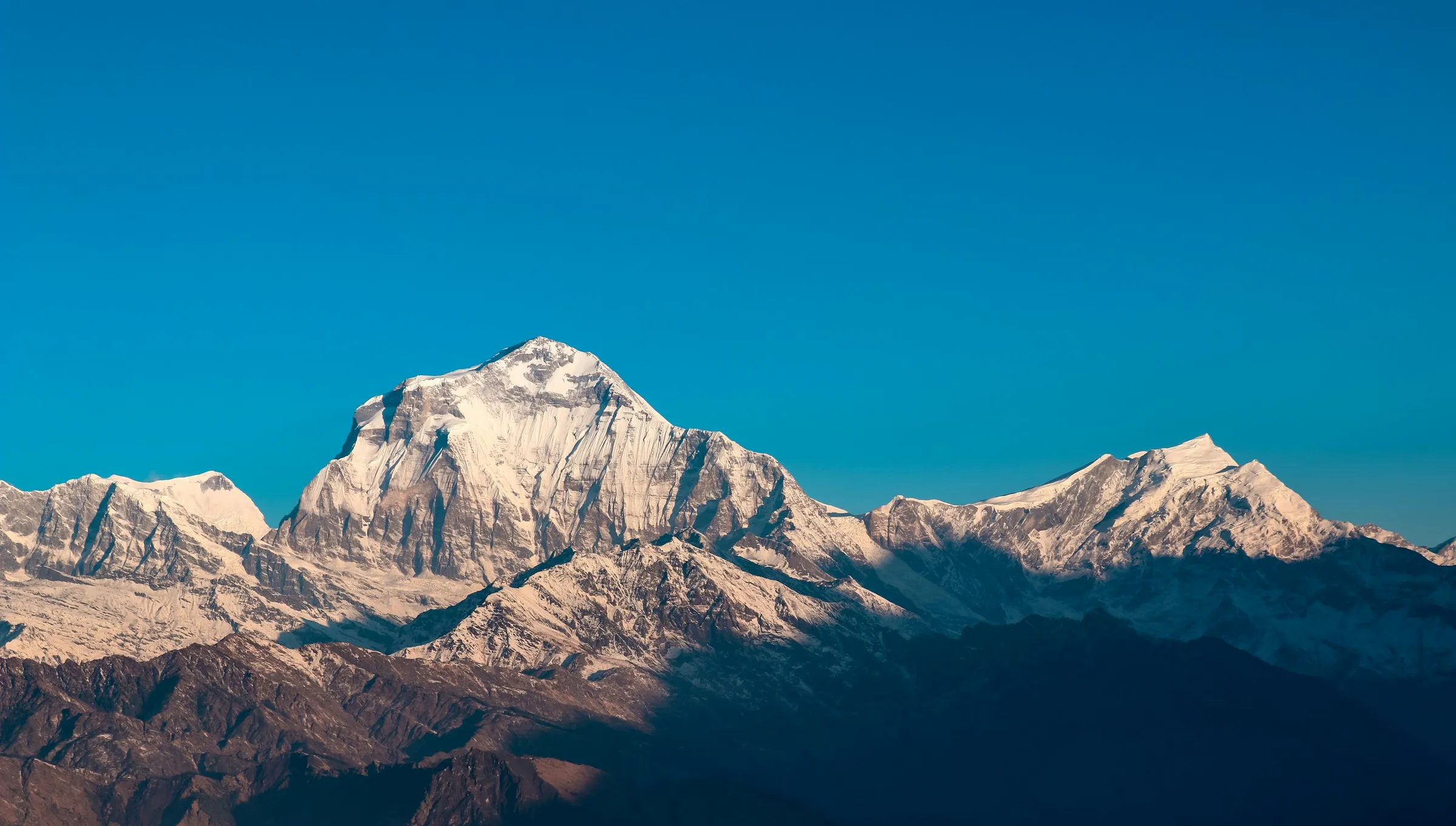
Dhaulagiri I in early light above the Annapurna foothillsQuiet ridge, big Dhaulagiri views

Khopra Danda

10 days · up to 3,640 m

Best Mar–Apr, Oct–Nov